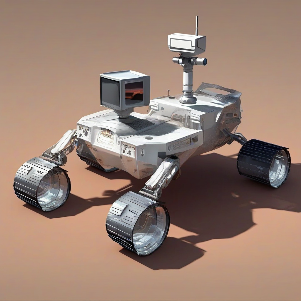

Robot Navigates Tough Terrain With New 3D Mapping Technique
Robot Navigates Tough Terrain With New 3D Mapping Technique
In a groundbreaking advance, researchers in Hong Kong have developed a novel mapping model for quadrupedal robots that allows them to autonomously crawl under and leap over significant obstacles in order to arrive at their desired endpoint. This achievement is a significant step towards creating robots that can safely traverse complex terrains, a capability that could be crucial for various applications such as search and rescue, environmental monitoring, and construction inspection.
Advanced Terrain Mapping for Robots
Peng Lu, an assistant professor at the University of Hong Kong, along with his postdoctoral student Yeke Chen and other team members, sought to create a robot capable of overcoming the challenges of navigating complex environments. To help their robot perceive its surroundings in detail, they developed a model that creates a multilayer elevation map from the robot's sensor data. This map can capture the characteristics of a wide range of terrains using lidar data, which provides a 3D representation of the environment.
Training the Robot
The team used simulations to train the robot to recognize different terrains it may encounter in the real world. This includes very challenging terrains to navigate, such as a gap that it must jump across or crawling under obstacles with an overhang jutting out. If the robot has missing sensor data, it can compensate to some extent with estimations, based on its training data. "Through learning different skills in simulation and knowledge distillation, the robot is able to switch among different skills to traverse through different obstacles," says Lu.
Testing the Robot
The researchers tested their mapping technique using a Unitree Go1 robot in a series of indoor and outdoor experiments, where it had to autonomously crawl, climb, or jump to overcome obstacles. "The results show that the multilayer elevation map can effectively represent various complex terrains, which allow a robot to easily understand the environment," says Lu, noting the robot also succeeded in autonomously switching between modes—crawling, jumping, and climbing—as needed. He adds that the robot inadvertently has path-planning abilities, even though it was not programmed to have them.
Implications and Applications
The development of this novel mapping model has significant implications for various applications, including:
- Search and rescue: Robots equipped with this technology could navigate through rubble and debris to locate survivors in disaster scenarios.
- Environmental monitoring: Robots could be used to monitor and assess environmental damage in areas with complex terrain, such as after an earthquake or hurricane.
- Construction inspection: Robots could be used to inspect construction sites, reducing the risk of accidents and improving safety.
Future Directions
While the robot's ability to navigate complex terrain is a significant achievement, it relies only on the data that it has already been trained on, and cannot learn directly from real-world data. Lu notes that his team may commercialize the robot for inspection scenarios, such as construction sites, and plans on using real-world data to further enhance the robot's ability to cope with any type of terrain.
Conclusion
The development of this novel mapping model for quadrupedal robots is a significant step towards creating robots that can safely traverse complex terrains. The implications of this technology are far-reaching, and it has the potential to revolutionize various applications, including search and rescue, environmental monitoring, and construction inspection. As researchers continue to improve and enhance this technology, we can expect to see even more impressive advancements in the field of robotics.
Source: https://spectrum.ieee.org/robot-navigation-3d-mapping